
Walk a Culpeper Street by Parcel
Use one parcel at a time. Culpeper County’s records connect an address to a tax-map number, an assessment owner, a deed reference, and map context, but they do not create a complete roll of everyone who may live on the street. Begin with the known address in the Culpeper Vision eAssessor. Its current property and ownership data was updated through December 31, 2025. Keep the situs, or physical parcel address, separate from the tax-roll mailing address. The latter identifies where assessment correspondence is sent and may be elsewhere.
The safest result is a dated trail of public records. A tax-map number is the useful bridge because it follows the parcel into WebGIS and often into the land-record index. A street name alone can be less reliable in older books, rural routes, or a record that uses a lot and block instead of a street number.
- Enter the address in Vision and note the owner name as displayed, the situs, the mailing address, and the tax-map or parcel number.
- Open Culpeper County WebGIS, search the address or tax map, select the parcel, and pan to the next parcels on the street.
- Use the owner or party name in the Circuit Court land index. The current owner’s purchase deed identifies the seller, an instrument or book-and-page reference, and the legal description.
- For election geography, use the address to identify the assigned precinct or have the individual use the Virginia Citizen Portal. The public tool is not an open by-street voter roster.
- For a past household, ask the local-history room whether a confirmed reverse or criss-cross directory covers the needed year, then compare that entry with the parcel trail.
Note: Record the source date beside each parcel because assessment ownership, map layers, and election status can change.
Culpeper Street Directory Starts at Vision
The Vision landing page supports address, owner, parcel or tax-map, and map search modes. An address query is the direct starting point for a street directory task. An owner query is useful after a deed index returns a name. Parcel searching is the fallback when a number is unclear or a deed uses a tax-map reference. The live result card may expose more detail, but fields such as sales, sketch, and exemptions should be checked on the selected card rather than assumed from the landing page.
| Vision search key | Input type | When it helps | Culpeper caution |
|---|---|---|---|
| Address | Text mode | Find a known physical parcel | Use the situs address, not the tax mailing address |
| Owner Name | Text mode | Connect a deed party to a parcel card | Try variants, trusts, and entity names |
| Parcel or Tax Map | Text mode | Anchor an ambiguous address | Exact public format is not stated on the landing page |
| Map or street listing | Browse mode | Inspect nearby parcels | Live labels vary with the portal session |
A parcel card can show the recorded owner, parcel identifier, location, acreage, assessment context, and mapped parcel. It is not proof that every household member is listed. An exemption or claimed occupancy field, if displayed, is a tax classification and should not be stretched into a full resident record.
Culpeper WebGIS Around an Address
County WebGIS is the map-to-record part of a Culpeper street directory. The county FAQ documents searches by address, owner, and tax-map number. After selecting a parcel, the map can provide owner and acreage context as well as real-estate assessment, zoning, topography, aerial photography, and voting or magisterial district layers. Those layers help explain what sits along a street, but the county says the map is reference information rather than a legal survey.
Town and county mapping are separate government layers. Check Town GIS and zoning for an address inside the incorporated Town of Culpeper; use County WebGIS for parcel and county tax context. A postal address can also extend beyond the town. The 22701 postal area reaches rural county geography, so it does not decide whether a parcel is governed by the Town.
For a street segment, click each parcel instead of inferring a boundary from the screen. Save the tax-map number, visible owner, zoning, and map date. A formal buffer, export, or downloadable street roll was not documented in the official materials, so manual parcel selection is the supported method.
Culpeper Street Records at a Glance
Each source answers a different street question. Vision and WebGIS identify the parcel and recorded owner. The Circuit Court’s index tracks transfers. Building material dates work on the parcel. Election tools establish individual self-service status or precinct geography, not a public block list. Combining them prevents a common mistake: treating an owner, a mailing contact, and every person at an address as the same record.
| Address-keyed source | Culpeper keeper | Street-level evidence | Access route |
|---|---|---|---|
| Assessment parcel card | Real Estate Assessments / Vision | Owner, situs, mailing address, parcel, value, acreage | Free online database; correction through the Assessor |
| WebGIS parcel | County Planning and GIS | Boundary, tax map, zoning, aerial and district context | Free map, then manual parcel selection |
| Land-record index | Circuit Court Clerk | Grantor, grantee, instrument, legal description, recording trail | SRA, public terminal, books, or microfilm depending on era |
| Permit inquiry and reports | County Building / Town zoning | Permit year, details, inspection history, address-linked work | Inquiry, CitizenGov, monthly reports, or a targeted request |
| Election geography | General Registrar | Precinct and polling-place context for an address | Individual Citizen Portal use or lawful statutory request route |
The tax-map number is the best shared identifier. It ties the assessment card to mapped land and helps locate the matching deed. The street label ties sources together only after spelling, numbering, and the parcel’s legal description have been checked.
Note: When the address and deed description disagree, retain both forms and use the parcel identifier to test the connection.
Culpeper Deed Index for a Street
The Virginia Secure Remote Access land-record index is the next stop once an address has a parcel and owner. Modern searches can identify party names, a brief description, tax-map number when available, instrument number, and page count. That information is enough to request a paper copy or to continue the chain. Images have a separate access level, while the Clerk’s public terminal and records room remain alternatives.
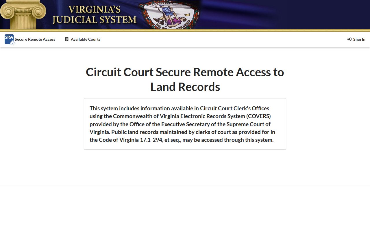
The index is a finding tool, not the whole deed. Preserve the instrument number and page count. The Clerk’s records-room instructions say a mail request needs those details, payment, and a self-addressed stamped envelope; printed pages cost $0.50 each. The Clerk is at 135 W. Cameron Street, (540) 727-3438, and the records room is open from 8:00 a.m. to 4:00 p.m. for self-directed research.
Search both grantor and grantee roles. A grantor transfers an interest, while a grantee receives it. For street research, the seller named on a later deed may become the buyer on an earlier deed, letting the property chain move backward without assuming the old address was written the same way.
Culpeper Street Records Before 1946
Culpeper’s modern index does not erase the older search path. The current SRA agreement covers land-record indexes from July 1, 1946 forward. The Clerk’s local computer process covers records from 1996 forward, while July 1, 1946 through December 31, 1995 uses a special index. Before July 1, 1946, consult the grantor and grantee index books by surname and likely year range.
The local collection reaches back to deeds and land records from 1749. The County Library’s microfilm includes deed books from 1749 to 1864, and the Clerk’s records room holds older finding tools. This long record span is useful for an old Culpeper street, but digitization is uneven. A missing remote result can mean the relevant book, reel, or terminal must be used instead.
- Parcel
- A tax-mapped piece of land used to connect assessment, map, and deed records.
- Situs address
- The physical location of the parcel, distinct from the address used for tax correspondence.
- Plat
- A recorded or referenced map of lots, blocks, boundaries, or a subdivision. Not every plat is recorded.
- Criss-cross directory
- A reverse directory organized from street and number toward an occupant or business listing, when a local volume exists.
Note: Search old surname spellings and a likely year range before deciding that a historical Culpeper transfer is absent.
Culpeper Permits Along the Street
Permit records can date construction, repair, or inspection activity at an address. They cannot identify every person who lived there. Culpeper County’s permit inquiry uses a permit number and year, with result history that includes Details and Previous. Monthly permit reports are posted for 2015 through 2026. CitizenGov is the current online application route, while the County Building Department accepts paper applications at 302 N. Main Street, lower level.
Routine building-permit records are retained for three years after completion. For an older street question, start with the monthly report and then ask the relevant custodian for a narrow record by address, year, and type. Town zoning should be checked first for a property within town limits, while the county handles building-permit processing.
Permit evidence is strongest when it is paired with the parcel and a deed reference. It can establish a project date or inspection trail. It does not establish a household roster.
Culpeper Street Names Need Extra Checks
Historic searches need more than today’s street spelling. The town was established as Fairfax and officially changed its name to Culpeper in 1870. Older material can use Fairfax, Culpeper, or Culpeper Courthouse. Search those locality names together with road, street, lane, rural-route, and surname variants. The research did not locate a verified dated street-renumbering schedule, so no particular renumbering should be assumed.
When a street number drifts, use the legal description, subdivision lot or block, adjoining owners, and any deed reference as anchors. The May 1924 five-sheet Library of Congress Sanborn map offers period street and building context, but it is not proof of occupancy. Library newspapers from the late 1890s forward and deed books can help bridge the naming difference.
For confirmed historical address volumes, the Culpeper city directory collection has the library workflow. Ask staff to verify the specific volume, year, and any reverse-directory coverage before assigning a past occupant to a number.
Note: Preserve the volume year and page with every historical address entry, because directory publication dates can lag the information gathered.
Culpeper Street Directory Limits
A street directory can show a parcel owner, tax mailing contact, public transfer history, public project record, or historical address entry. It cannot fill in all the people behind an address. Non-owner occupants, unnamed household members, utility customers, delivery customers, protected voters, confidential addresses, DMV customer addresses, and sealed or expunged court details are not a public street roster.
Lawful use. Culpeper address records support house history, family research, civic questions, and verification of a public parcel trail. Do not use them to stalk, harass, intimidate, or harm anyone.
Virginia’s voter law limits the complete voter file to stated recipients and purposes under Va. Code §24.2-405. The individual citizen tool is not a shortcut around that limit. A parcel owner is a recorded owner, not a complete list of current residents.
Culpeper Street Request Paths
When a needed record is not online, use the custodian that holds it. The Clerk’s office can explain how to use land indexes and the records room, but it does not perform individual searches. The County Library and the Library of Virginia Culpeper microfilm catalog provide historical fallback routes. For a retained county record, name the address or tax map, record type, date range, and preferred format in a focused request.
Virginia FOIA requires reasonable specificity and generally calls for records or a written response within five working days. Culpeper County also provides a NextRequest portal. The law does not require a public body to create a new list of everyone on a street. Ask for the existing public deed entry, permit report, plat, or meeting item that answers the narrow question.